
What nature and landscapes in Ghana matter to you?
Forests, rivers, beaches, sacred groves, the stretch of coast you grew up on — mark them on the map and tell us why you love them. Together we show decision-makers which places Ghanaians value, and why they are worth protecting.
Takes about 10 minutes · Works on any phone · Your answers stay anonymousHow it works
You don’t need any special knowledge. If you love a natural place or landscape, you already know enough.

Create a free account
Sign up on Greenmapper with your email. No cost, no adverts, and you can ask us to delete your account at any time.
Mark the places you love
You draw four areas, each at a different scale: one close to home, one in your region, one elsewhere in Ghana, and one anywhere in the world. A rough outline is enough.
Tell us why it matters
A few short questions, such as how often you go there, what it means to you, and what you think it needs to stay healthy.
Why we are doing this
Ghana’s forests, rivers and coasts are under pressure from illegal mining, logging and expanding farmland. Decisions about that land are made with maps of what a place produces — almost never with a map of what a place means to the people who live near it, or are attached to it from a distance. That gap is what this research closes.
Making value visible
A sacred grove, a fishing beach, the forest you walked through as a child — our values for those places are real, but they are almost never mapped and written down. If we change that, every area drawn adds to a picture of which landscapes Ghanaians care about, and why.
Evidence for protection
What people value rarely reaches environmental policy, because nobody has measured it. This study turns what you draw into spatial evidence that landscape managers and policymakers in Ghana can actually use.
Part of a global study
Greenmapper has run studies in eight countries so far, across Europe, South America and Asia. Ghana adds a perspective that is missing from most international landscape research.
Open to everyone
Farmers, students, fishers, city dwellers, chiefs, teachers. The more different the voices, the more honest the map.
“The platform does not just ask respondents what they value — rather it allows one to spatially locate the sites and places that they value, and understand their relationship with those places.” Ernest Asare-Ankomah, Strategic Climate Initiative, Ghana
How we can protect them together
Drawing the areas is the start, not the end. What happens with them is the point.
A shared picture
Once enough people have taken part, the map shows which landscapes many Ghanaians value and which are quietly treasured by a few. That picture goes back to participants, and to the organisations that manage these places.
A seat in the conversation
Greenmapper connects people who love a place with the organisations looking after it. If you want, you can be invited to think along about how your areas are managed, protected and funded.
Always your choice
Taking part in the mapping commits you to nothing further. You decide whether you want to hear more about the places you drew.
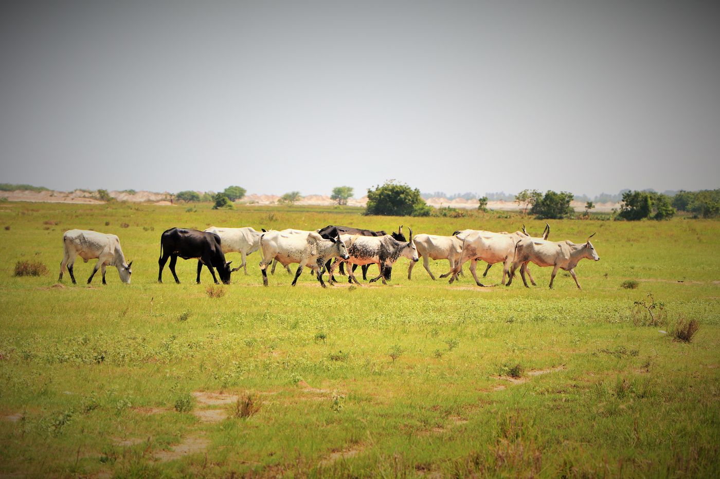
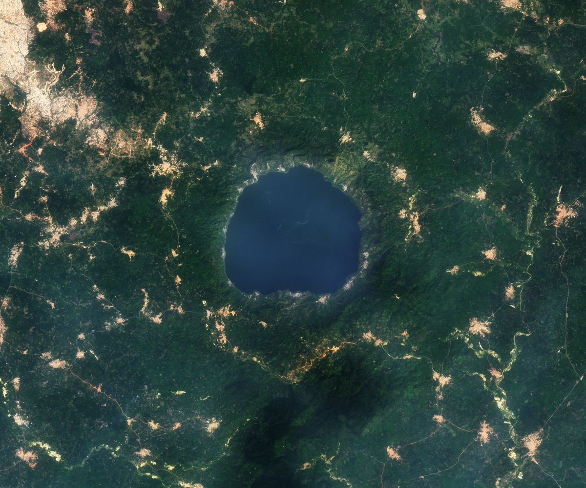
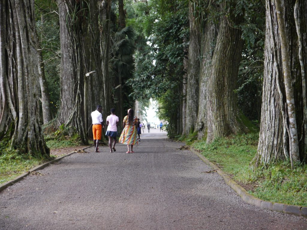
Photographs — Hero: Bia National Park and a rice farm by AmarAfshin, CC BY-SA 4.0. Songhor Lagoon by Els Holmes, CC BY-SA 4.0. Lake Bosumtwi by NASA Earth Observatory, image by Michala Garrison using Landsat data from the U.S. Geological Survey, public domain. Aburi Botanical Gardens by Lionel Scheepmans, CC BY-SA 4.0. All images were resized for the web.
Who is behind this
Greenmapper is a research platform of the University of Groningen in the Netherlands. This study runs from the UNESCO Chair in Sustainable Landscape Governance, Education and Citizen Science — the university’s first UNESCO Chair, held by Frans Sijtsma.

In Ghana the pilot is run together with:
- Strategic Climate Initiative, Ghana
- GIMPA — Ghana Institute of Management and Public Administration
This pilot is the first year of a study on mapping human–ecosystem connectivity in Ghana: a spatial analysis of cultural ecosystem services using citizen-science data.
Want to contact us?
In Ghana, contact our partner Strategic Climate Initiative: strategicclimateinitiative@gmail.com.
About content, science and collaborations, contact our scientific founder: dr. F.J. Sijtsma.
About technical issues, contact our support: friends@greenmapper.org
Questions people ask
Does it cost anything, or use much data?
No. The account is free and the map is built to work on a normal phone connection.
Who can see the places I map?
Only the Greenmapper team can see your answers together with your email address. Individual answers do appear in our public data viewer, but without the email address and without a recognisable home location, so they cannot be traced back to you. Nothing is published with your name attached.
What if my place has no name on the map?
That’s fine — and useful. Draw the area where it is and describe it in your own words.
Do I have to draw the area exactly?
No. A rough outline is enough. We are interested in the place as you experience it, not in official boundaries.
Can I take part if I no longer live near the place?
Yes. Places you have moved away from often matter most — and one of the four areas is meant to be somewhere further afield anyway.
Can my school, church or organisation join together?
Yes, and we would like that. Get in touch at friends@greenmapper.org and we will help you set it up.
Why do I need to create an account?
Because your four places belong together: the research needs to know that one person marked all four, at four different scales. The account also lets you come back later and add more places, up to sixteen. Your email address stays with Greenmapper — landscape organisations can see how many people marked their area, but can only reach you anonymously through the platform.

Nature needs you
Four areas, about ten minutes. Add the landscapes you value to Ghana’s map.
Get started on Greenmapper